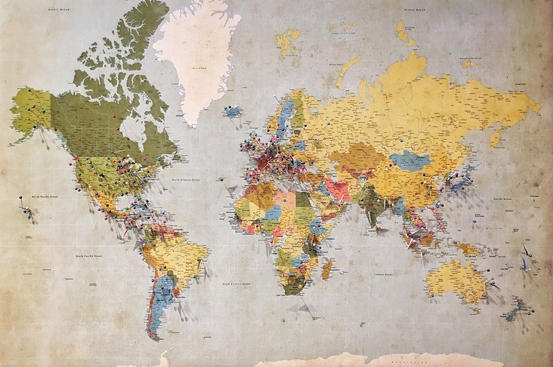
UN Votes 164-1 to Push Accurate World Maps Showing True Continent Sizes
The standard world map sitting in classrooms and boardrooms for centuries is getting a reality check. In a 164-to-1 vote, the UN General Assembly approved a resolution calling for global mapmakers, publishers, and companies to adopt projections that accurately reflect the real size of continents, rather than relying on distorted historical models.
For decades, the dominant visual layout across textbooks and wall charts has been the Mercator projection. Originally designed as a cylindrical map to aid maritime navigation, the projection flattens the curved Earth onto a flat sheet, creating severe distortion for regions that sit further away from the equator. Because Africa straddles the equator, the Mercator model shrinks its scale relative to northern landmasses, making it look roughly identical in size to Greenland. In physical reality, Africa is 14 times larger.
Here is how the traditional mapping model compares with the UN-recommended alternative:
| Map Projection | Geographical Representation |
|---|---|
| Mercator Projection | Distorts landmasses away from the equator, making Greenland look identical in size to Africa |
| Equal Earth Projection | Maintains accurate relative land sizes, showing Africa as 14 times larger than Greenland |
Why the Map Choice Matters
The initiative was spearheaded by African nations seeking to correct long-standing visual misrepresentations in international education and public media. Speaking before the vote, Togo’s Foreign Minister, Robert Dussey, addressed the assembly on why spatial accuracy matters far beyond geography class.
“Maps shape our understanding of the world,” Dussey said. “They guide education, fuel the imagination, and influence collective perceptions.”
In a briefing to the African Group at the UN, Dussey emphasized that the push was not about seeking special favors on the world stage. “Africa is not asking for preferential treatment,” he said. “Africa is asking that its reality, aspirations and contribution to the international system be duly taken into account.”
The final vote passed with overwhelming international backing. Six countries abstained, while the United States cast the sole opposing vote, describing the initiative as part of a “radical ideological project.”
What Changes in Practice
The UN resolution does not ban or prohibit the Mercator projection. Instead, it actively encourages governments, educational institutions, corporations, and digital mapping providers to adopt alternatives such as the Equal Earth projection. These equal-area projections preserve true relative landmass ratios, giving readers an accurate visual sense of how large continents actually are compared to one another.