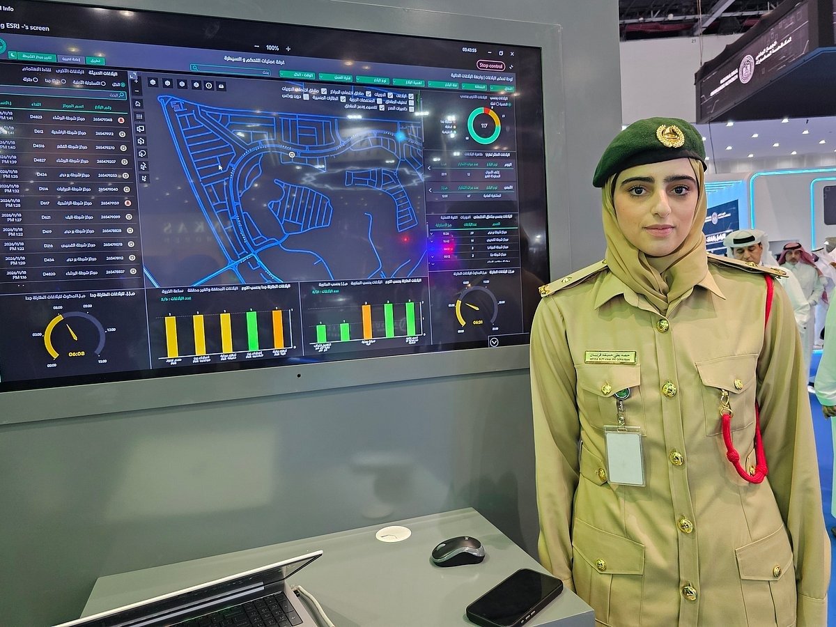
Dubai Police AI Mapping Tech Targets Three-Minute Response Times
Dubai Police are deploying an artificial intelligence mapping system to track live emergency reports, identify crime hotspots, and direct patrols along faster routes across the emirate. The technology underpins a strict three-minute emergency response target by calculating optimal paths and managing resource deployment in real time.
Smart Security Mapping Platform Integrates GIS Data
Demonstrated at the fifth World Police Summit 2026 at Dubai World Trade Centre, the Smart Security Mapping Platform integrates Geographic Information System (GIS) technology supplied by global mapping company Esri. Lieutenant Hessa Al Muhairi demonstrated the live system to operations teams, showing how incoming emergency reports appear with exact timestamps directly inside the operations room.
The platform processes live incident data, traffic density, and road access to recommend the quickest routes and strategic positions for patrol vehicles. Beyond immediate routing, the system evaluates patrol availability and suggests coverage adjustments, allowing neighbouring units to intervene when designated patrols are occupied.
Operations teams use the digital interface to monitor a wide range of security offences and hazards, including residential burglaries, vehicle thefts, thefts from trucks, and fuel or gas leaks. Operators also access daily statistics to track incoming reports, analyse geographical distributions, and identify recurring crime hotspots across the emirate.